Jeremy Morley (University of Nottingham) and Peter Mooney (National University of Ireland Maynooth (NUIM)) are pleased to announce the successful proposals which will be funded under the "Crowdsourcing in National Mapping" partnership project of AGILE and EuroSDR. ESRI Europe are also providing funding to this project. Details of the five successful proposals are listed below. This is an exciting time in the development of Volunteered Geographic Information, Crowdsourcing, and Citizen participation. These projects, funded at short intership level, will investigate some issues of cross domain interest in academia as well as in Industry and Government. The support of EuroSDR, AGILE, ESRI Europe, and the participating National Mapping and Cadastral Agencies is acknowledged and greatly appreciated. It is intended that an update on the progress and results of these five internship projects shall be given at the AGILE 2013 conference in Leuven, Belgium next April and at the 122nd Board of Delegates meeting of EuroSDR next Spring.
Council: Mike Jackson, Lead: Peter Mooney, Jeremy Morley, Member 1: Nottingham, Other Members: Maynooth, TU Dresden
"Characterising the use of vernacular placenames from crowd sourced data and a comparison with NMA Data"

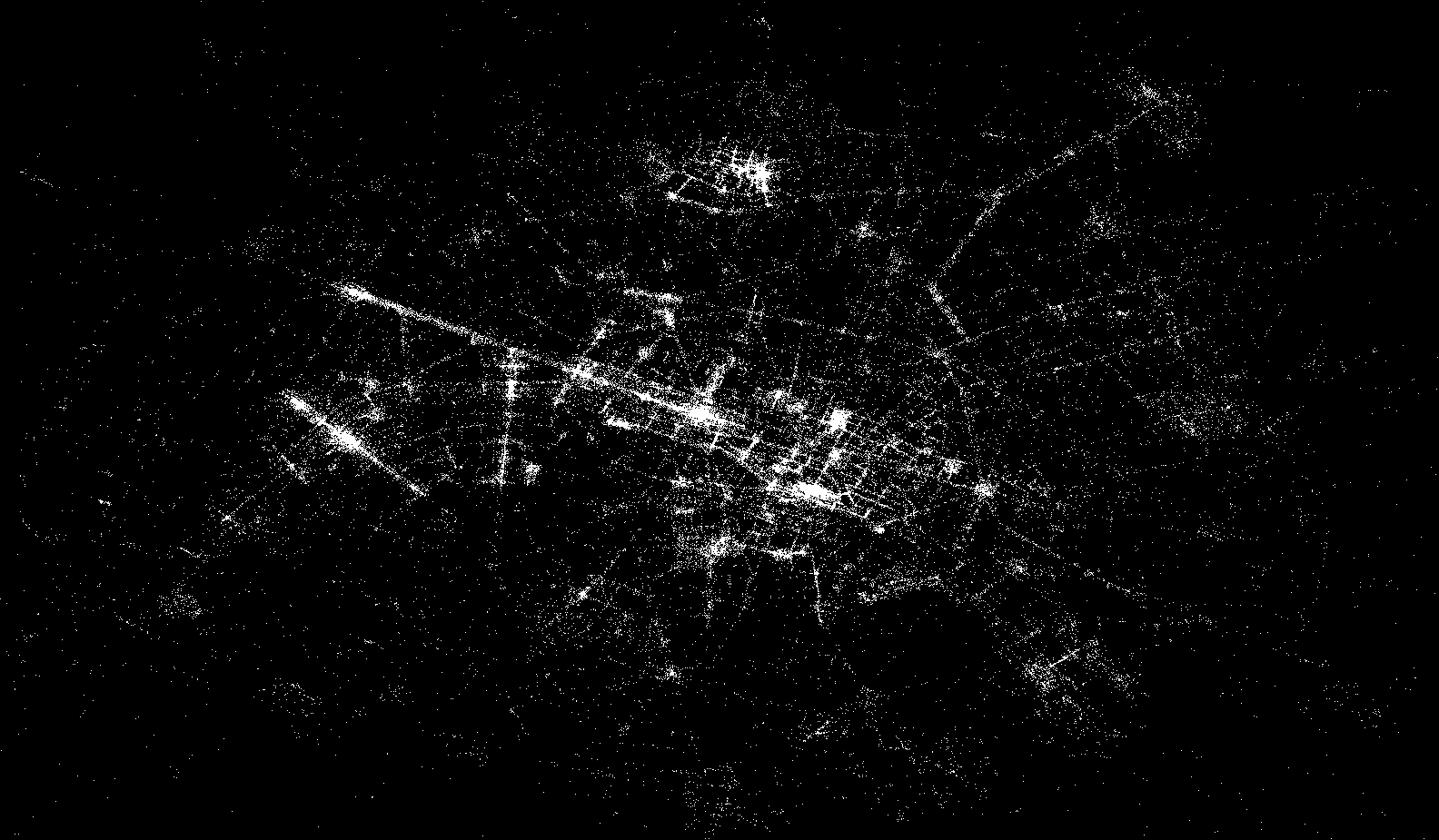
Paris by Flickr: Locations of Flickr images associated with the tag Paris. In this initiative we will explore the use of toponyms used as tags to describe these data, and compare the toponyms used with official toponyms used in National Mapping Agency data provided by the IGN
Manager: Dr Ross Purves
Lead Organisation: University of Zurich
Sponsor: EuroSDR
Email:
Partner list: University of Zurich and IGN, France
"Collection and visualisation of alternative tourism sites and objects in Lituania."
Manager: Prof. Giedrė Beconytė
Lead Organisation: Centre for Cartography of the Faculty of Natural Sciences at Vilnius University, Lithuania
Sponsor: AGILE (50%); EuroSDR (50%)
Email:
Partner list: State Enterprise National Center of Remote Sensing and Geoinformatics, Vilnius; GIS-Centras Vilnius; Centre for Cartography of the Faculty of Natural Sciences at Vilnius University; Vilnius Gediminas Technical University
"Conflation@Crowd-sourced Mapping"
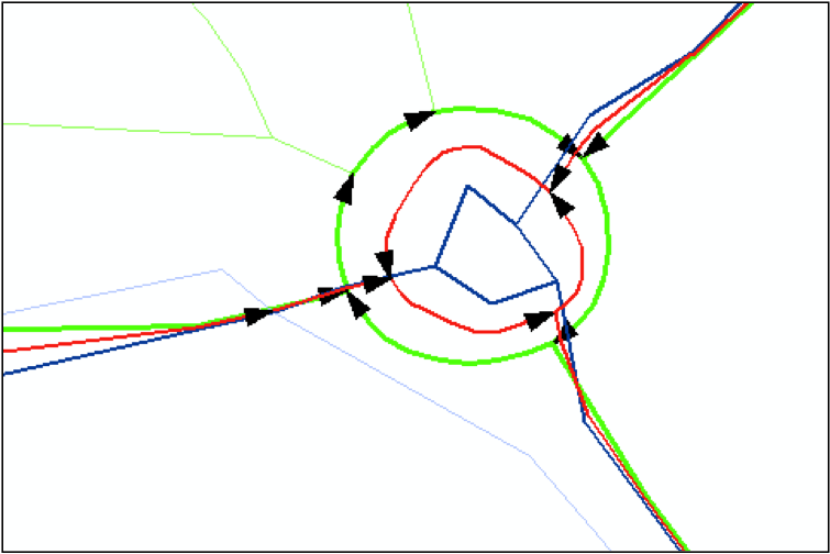
Along with the increasing power of Geographical Information Systems (GIS) there is an increasing demand for spatial data. National and private institutions collect spatial data in different data models and scales in order to meet this demand. Additionally, huge amounts of spatial data are collected in Web 2.0 mapping portals. The result is a multiple representation of the same topographic objects of the landscape. The aim of this project is to investigate the integration of such datasets. We will use a dataset from a National Mapping Agency (NMA) and from a Web 2.0 mapping portal. The integration will be done with conflation techniques. Conflation is a kind of spatial data processing that combines multiple layers of spatial data into one common layer.

Manager: Dr. Volker Walter
Lead Organisation: University of Stuttgart, Germany
Sponsor: ESRI
Email:
Partner List: Institute for Photogrammetry, Univ. Stuttgart (Academia), Landesamt fuer Geoinformation und Landentwicklung Baden-Wuerttemberg (LGL BW, NMCA), ESRI Germany, Kranzberg (Industry)
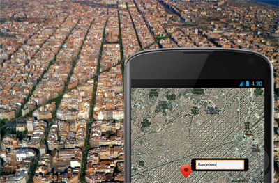
"Incidental Crowd Sourcing"

Lead Applicant: Dr Michael Brown (funding shall be handled by Universitat Jaume I of Castellón)
Manager: Dr. Laura Diaz and Joaquin Huerta
Lead Organisation: University of Nottingham, United Kingdom, Universitat Jaume I of Castellón Spain
Sponsor: ESRI
Email:
Partner List: Instituto Geográfico Nacional (Spain), Universitat Jaume I of Castellón, University of Nottingham UK, Ordnance Survey UK
"Ontology-based OSM and OS integration"
Manager: Dr. Marianne de Vries:
Lead Organisation: OTB Research Institute for the Built Environment, TU Delft, The Netherlands
Sponsor: AGILE
Email:
Partner List: TU Delft, Netherlands, National Geographic Institute of Spain (IGNE), SINFOGEO SL (Spain)
