Keynote Presentations
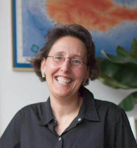
Dr. Sara Fabrikant - June 13, 2018
"Geotechnologies for All: Leaving All for Last"
Dr. Fabrikant will highlight ongoing empirical research on human and context responsive geographic information displays used in the lab and in the wild, capitalizing on ambulatory human behavior sensing methods (i.e., eye tracking, galvanic skin response, and EEG measurements). Based on collected empirical evidence and supported by cognition and vision theories Dr. Fabrikant and her colleagues are guiding the process of designing human, task, and context responsive geographic information interfaces for geotechnologies for all.
Dr. Sara Irina Fabrikant is a Professor of Geography, leading the Geographic Information Visualization and Analysis (GIVA) group at the GIScience Center of the Geography Department at the University of Zurich, Switzerland. She holds a PhD in Geography from the University of Colorado at Boulder (USA). Her research and teaching interests lie in geographic information visualization and geovisual analytics, GIScience and cognition, graphical user interface design and evaluation, including dynamic cartography.
http://www.geo.uzh.ch/en/units/giva.html
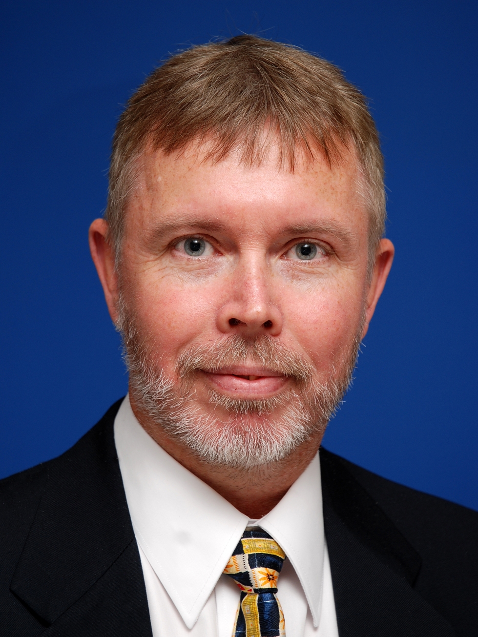
Dr. Terry Dawson - June 14, 2018
"Taming complexity: Dynamics in Geographic Information Systems"
Dr. Dawson's presentation will look at the evolution of Geographical Information Systems from information represented as a ‘snapshot’ in time to dynamic spatial-temporal representations of data. The development and proliferation of automatic sensor technologies has enabled us to generate enormous quantities of information, giving rise to the Big Data dilemma; how is society able to effectively harness the exponential growth in data and technology for understanding and managing complex social-ecological challenges that the world faces in the 21st Century.
Dr. Terry Dawson (BSc Exeter 1990, MPhil Cantab 1994, PhD Soton 1997) is Professor of Global Environmental Change in the Department of Geography at King’s College London. A Fellow of the Royal Geographical Society since 1986, his earlier career included academic positions at the Universities of Oxford (1998-2004), Edinburgh (2004-2007), Southampton (2007-2011) and Dundee (2011-2016). Terry’s research interests are in the development of remote sensing, GIS and modelling tools for studying and understanding biogeography and natural resource management with a specific interest in human-environment interactions, ecosystems services and climate change.
https://www.kcl.ac.uk/sspp/departments/geography/people/academic/dawson/index.aspx
Adjunct Prof. Ronny Anderson - June 15, 2018
"Geodata for the Future Information Management of the Built Up Environment"
Adjunct Prof. Ronny Andersson has been active at Structural Engineering, Lund University, 2003-2018. His research interest lies in Processes and ICT, Industrialization, Innovation, Business Models and Sustainable Construction. In parallel he has an employment as Head of Research and Innovation at Cementa AB. Ronny has initiated and worked in several large national programs, consortium and organisations.
Adjunct Prof. Ronny Andersson is the initiator and chairman of the ongoing 12-years national program Smart Built Environment (www.smartbuilt.se), aiming at improving the built environment sector by utilizing digitalization; the program is based on a triple helix partnership with an annual turnover of about 8 million Euros. One vision of the Smart Built Environment program is the interaction between geodata, BIM and industrial processes so that both quality and cost-effectiveness are achieved. To enable this integration we need an unbroken information management that provides increased user focus in the form of simplifications and transparency. Digital geodata is a prerequisite in this vision, and it is important that the geodata sector cooperates with other actors in the built environment sector, only with all the competences we can build the future common information management.
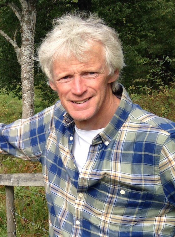
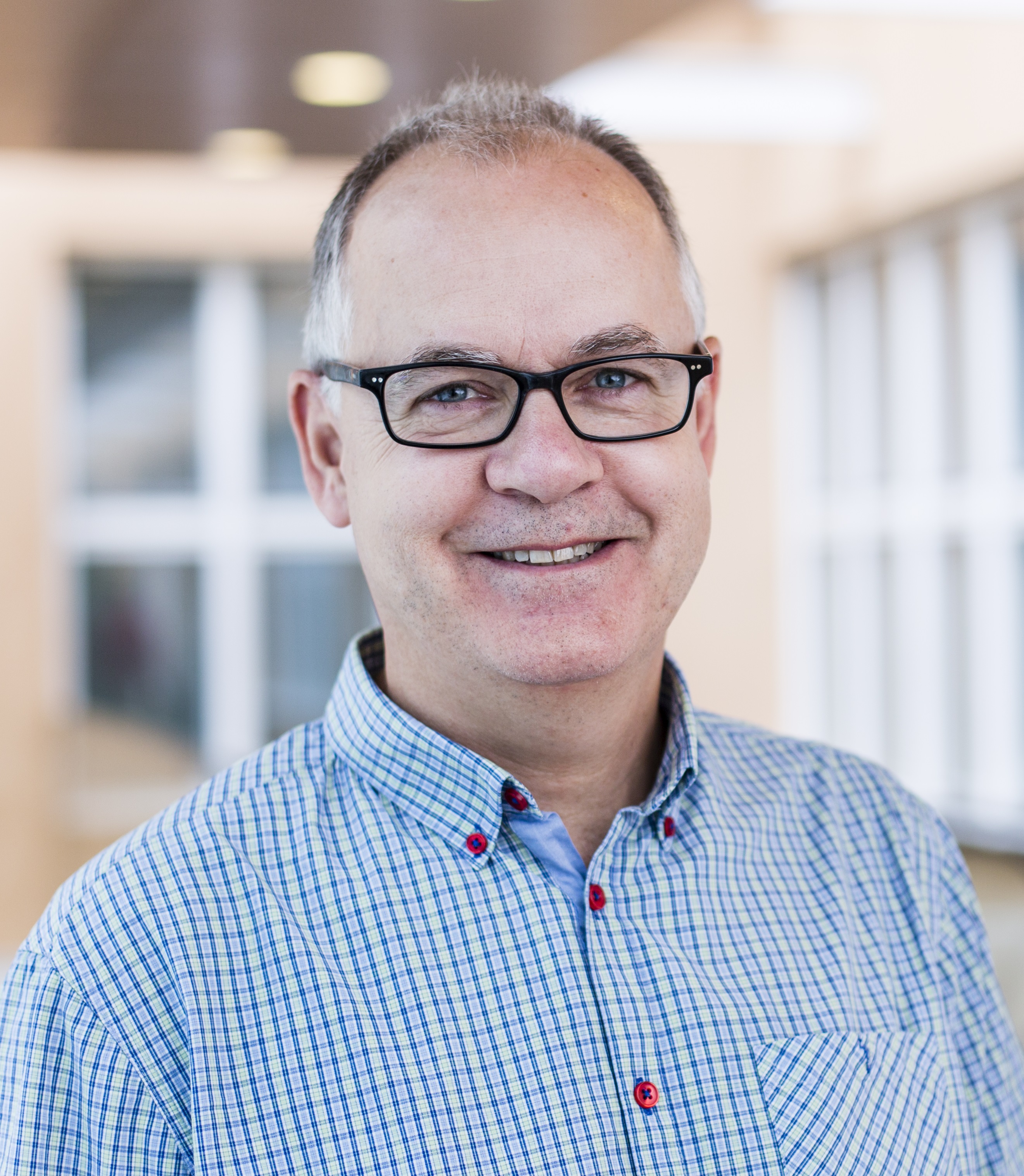
Dr. Tomas Germundsson - June 15, 2018
"Torsten Hägerstrand and the Landscape Context of Time Geography"
Dr. Germundsson will, in his presentation, discuss both the academic context in which Torsten Hägerstrand developed his time geography and how Hägerstrand himself maintained time geography in his geographical thinking. An argument is that even if time geography has been strongly connected to the studies of movements in time-space, it was rather the texture and the relations in a landscape that were Hägerstrand’s main concerns. He developed such an integrative perspective within an environmental discourse, striving for a cross-disciplinary human ecology that it brought natural and social sciences together.
Tomas Germundsson is professor of Human geography at Lund University and Fellow of the Royal Society of Letters in Lund. His research interests are primarily within cultural geography, especially landscape studies and historical geography. He has mainly studied landscape and settlement changes in Sweden and Scandinavia during the period of modernity, ca 1750-1950, but also current landscape issues such as cultural preservation, planning and landscape changes in connection to climate change.
https://www.keg.lu.se/en/tomas-germundsson

